Heavens-Above – website

The streak in the photo is an Iridium communications satellite. Heavens-above used to provide data so you could see their bright flares when sunlight caught them. [image: Vanessa Patea]
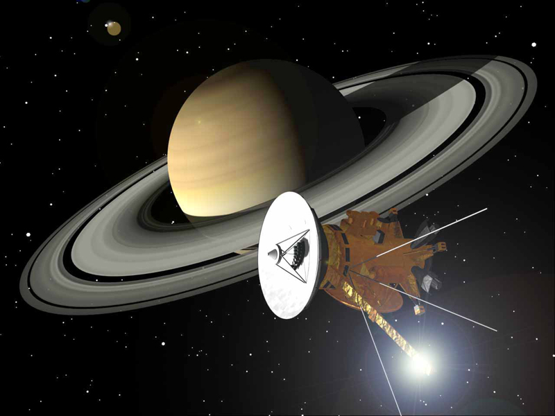
When and where might you see the International Space Station (ISS) or other interesting satellites? What are the two bright stars you've been seeing after sunset? You've heard that Saturn is visible, but where is it? The website Heavens-Above is a tool that beginners and experienced observers can use to answer their questions.
Heavens-Above
Chris Peat developed and maintains the website Heavens-Above. [Photo credit: Wikipedia] Its main purpose is to provide a resource for satellite-watchers. A comprehensive searchable database of satellites past and present, and daily predictions for brighter satellites are key features. You can also get ten-day forecasts for a number of objects of general public interest such as the ISS, the Hubble Space Telescope and Starlink satellites.
It's free to use, though extensive use would merit a donation. Although the overwhelming majority of users are in the USA and the UK, there's access in three dozen languages. When I looked at the 30-day statistics, users included people from over two hundred countries and territories.
Registration and location
You don't have to register to use the site, but it makes it easier for you to use because you can save your observing location(s). This means you don't have to enter this information every time you want to look something up. Registration is simple and doesn't lead to spam. All you need is a user name, an email address and a password.
No one lives at 0° longitude 0° latitude. It's in the middle of the Gulf of Guinea where the Greenwich meridian meets the Equator. This is the default location for Heavens-Above. So you need to enter your observing location, since all of the charts and other information relate to this location. It's easy to do. Give the name of your town and then use the interactive map to find your location.
Using the map, I found the front of our house to within a few meters, but you don't need this precision. Naming your town is close enough for stars and planets, though for satellites you need to get your location to within 10 km (about 6 miles). You can save more than one location and switch between them.
Sky chart
The Sky chart facility is a planetarium program. From your chosen location you can see what the sky would be like at named places, dates, and times past, present and future. In the old version the stars and planets are white on a dark background, but you can choose black on white for printing. Other options are lines connecting the stars in a constellation, constellation names, and showing the ecliptic. The ecliptic is the apparent path of the Sun during the year – it's where you find the Moon and the planets and the zodiac constellations. Any chart you generate can be saved in the way you save other images. Here is an example of a sky chart .
There is also a newer interactive sky chart available.
If you're not used to sky charts, you may be surprised to see that, compared to maps, east and west are reversed. That's because it's a map of the sky, designed for looking overhead. You won't be holding your computer over your head, but you'd hold a printed chart up, and turn it in the direction you're looking. If you're looking to the south, east is your left and west to your right. If you turn to look northward, turn your chart to point north.
It can be confusing relating your chart to the sky, but remember that it's showing a half sphere that's been flattened. What's in the center is what's overhead. The horizon is around the edge.
Magnitude
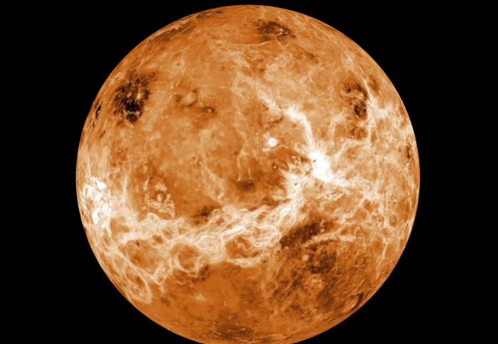
The site shows magnitudes for satellites and Solar System objects. The magnitude is the brightness of an object. On the magnitude scale the brightest objects have negative magnitudes. For example, at its brightest, Venus's magnitude is -4.5, outshining even bright Sirius at magnitude -1.46. The higher a positive number, the dimmer the object. Even for someone with good eyesight viewing a clear, dark sky, magnitude 6 is the faintest limit for viewing with the unaided eye.
More about the Solar System
There are pages giving sunrise/sunset times, moonrise/moonset times, moon phases, where the planets are, and how to locate the brighter comets and asteroids. But I should mention that comets are rarely bright enough to see without binoculars or a telescope, and you'd need a good telescope to see asteroids.
Recommended?
Definitely recommended. Heavens-above is not an all-singing, all-dancing site with glorious photos, video clips and games. It is a useful tool for both beginners and experienced observers. I would also commend its many uses to educators. For example, you can generate sky charts to show how the sky changes during the night as Earth rotates, or how it changes from season to season.
You Should Also Read:
How to Tell a Planet from a UFO
Solar System - Our Neighborhood
Beginners - Start Observing

Related Articles
Editor's Picks Articles
Top Ten Articles
Previous Features
Site Map
Content copyright © 2023 by Mona Evans. All rights reserved.
This content was written by Mona Evans. If you wish to use this content in any manner, you need written permission. Contact Mona Evans for details.


